Traffic Counts
TxDOT Traffic Counts Interactive Map
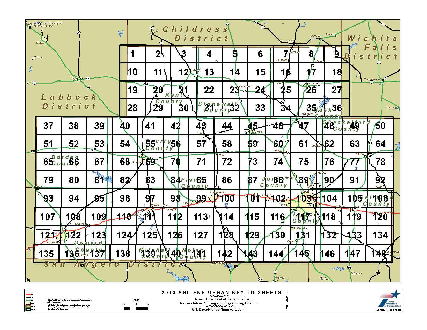
Interactive Map
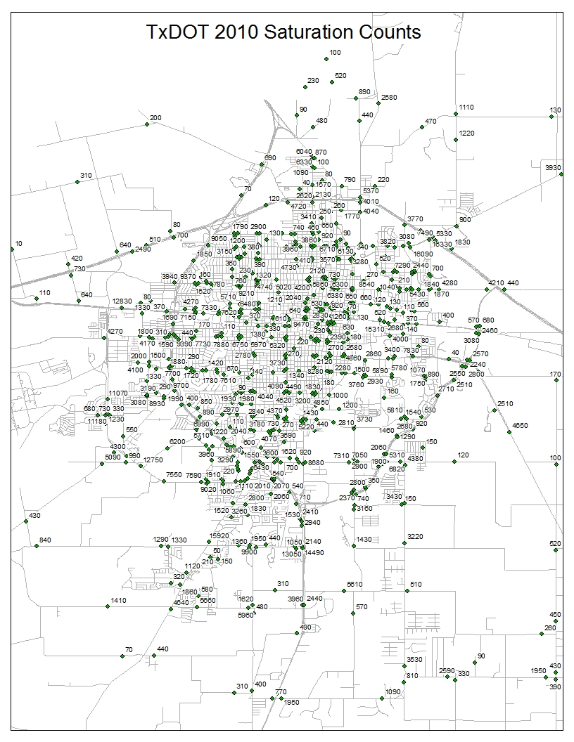
Traffic counts are provided by TxDOT and are copyrighted. Maps and digital data cannot be reproduced or redistributed without written consent from the Abilene MPO. The information on these maps was derived from digital databases on the City of Abilene’s Geographic Information System. This GIS has been compiled for preliminary and general purposes. It is not intended to be complete and accurate for any other purposes. Specifically, this information is not represented to be complete for purposes of land use restriction, zoning, title, size, and suitability of the property for specific uses. Care was taken in the creation of these maps, and they are provided "as is". The GIS Division and the City of Abilene disclaim any liability for errors that may be contained therein. However, notification of any errors will be appreciated.”
TxDOT Traffic Counts Map
Back to Top